


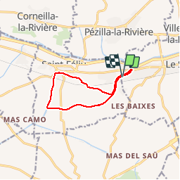

6,7 km | 11,4 km-effort


Gebruiker


Gratisgps-wandelapplicatie
 SityTrail
IGN / Geografische instituten
SityTrail World
De wereld gaat voor u open
Tocht Stappen van 9,8 km beschikbaar op Occitanië, Pyrénées-Orientales, Le Soler. Deze tocht wordt voorgesteld door jeff66.
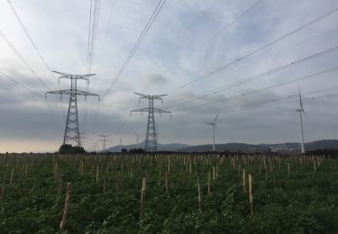
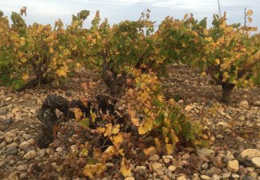
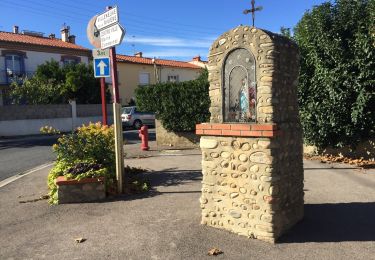
66 LE SOLER - ST FELIU D'AVALL, promenade le long du Rau du SOLER et de la rivière de CASTELNOU entre canaux et vergers


Te voet

Mountainbike
Stappen

Lopen
Stappen
Stappen
Stappen
Stappen

Stappen